Architects, builders, project managers and other construction professionals employ several tools and methods that guide the design and execution of building projects. One important tool that dictates the process of architectural design is site analysis. Accepted as a crucial design step by architects universally, it is a process that can ensure functionality and contextual relevance in construction projects. Read on to learn all about what site analysis is, its importance in design and the components and methods of conducting an architectural site analysis.
What is Site Analysis?
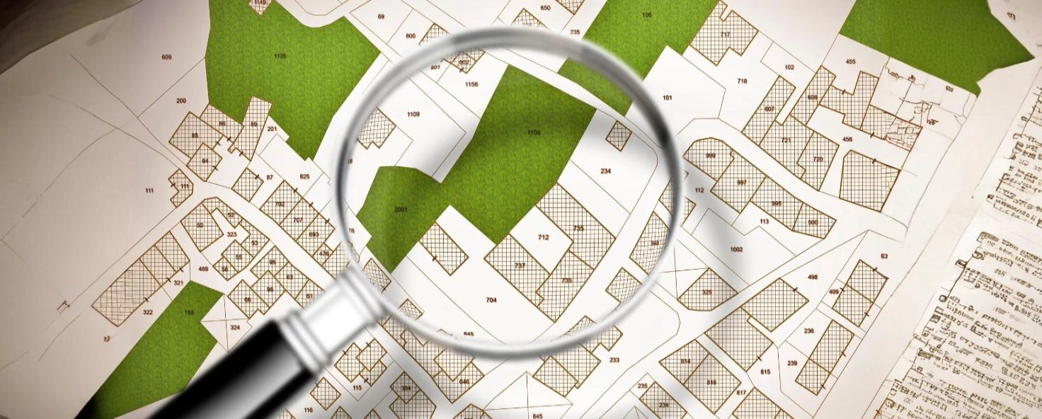
The process of researching, compiling data and evaluating various factors—such as climate, neighbourhood properties and demographics—relating to a property for the purpose of building design and construction is termed as site analysis. Commonly created by architects and designers across the world, a site analysis diagram equips these professionals with all the information necessary to begin the process of designing. It serves as a guiding point as well as a means of justification for why an architectural design is executed in a certain way.
Why is Architectural Site Analysis Important?
- Guides Design: Local climate and vulnerability to natural disasters like earthquakes, floods and hurricanes are some of the environmental factors evaluated in a site investigation or analysis report. These factors guide climate responsive and resilient design, leading to the construction of strong and durable structures.

- Safeguards the Environment: The mapping of environmental features—such as existing vegetation, natural land contours, water bodies and floodplains—in a site analysis diagram helps protect them. Architectural design and construction can be done in a manner that is harmonious with these elements, rather than combatting with or destroying them.
- Preserves Culture: Site analysis involves the examination of existing culture, architecture and history in the local region of the construction site. Architects take these factors into account to create designs that are culturally and contextually relevant, ensuring that traditional architectural languages do not get erased with time.
- Legal Compliance: Including correct mapping of boundaries and detailed studies of local regulations and building bye-laws, site analysis ensures that construction projects are legally compliant, thus expediting the process of obtaining building permits and construction approvals.
What are the Components of Site Analysis Architecture?
Architectural site analysis diagrams often depict and analyse the following parameters:
Natural Factors
- Climate and Weather: Features of the larger climatic zone (hot and dry, warm and humid, etc.) as well as the microclimate (local wind directions, rainfall, vulnerability to natural disasters, effect of water bodies, etc.) in the property are studied in site analysis.
- Solar Pathways: The direction, duration and intensity of sunlight received during different months of the year are evaluated, governing the building orientation, window-wall ratio, shading devices and other aspects of design that ensure comfortable indoor environments.
- Soil Type: Soil exploration tests (whose results are typically depicted in site analysis diagrams) give details about the type, load bearing capacity and fertility of soil, signalling the type of foundation required and the vegetation that might thrive.
- Site Topography: This includes data on the site location, directionality (compared against both Magnetic and true North), level differences (contours) and natural floodplains, indicating the regions within the site that are best suited for different types of construction.
- Geology: The type, depth and features of any rock present on or under the ground are examined along with soil investigation processes. These factors guide the location of borewells and dictate the types of footings required. Tectonic movements are also detected to check the necessity for earthquake resistant design.
- Hydrology: Depicts the presence, location, size and depth of water bodies in and around the site. Availability and depth of the groundwater table for building borewells is determined.
- Flora and Fauna: Any existing vegetation (including endangered species) and their details are mapped, allowing architects to design around these features to ensure their preservation.
Man-Made Elements
- Neighbourhood Structures: The location, heights and layout of any neighbourhood structures are denoted in this aspect of building site analysis, which guides the position, design and orientation of the structures to be constructed.
- Infrastructure and Utility Lines: Access through vehicular and pedestrian pathways, water supply, electrical lines, drainage lines and sewers, gas connections, communication lines and proximity to facilities like schools, hospitals and markets are analysed.
Social Factors
- Cultural and Historical Influences: The existing architecture of the region, historical and cultural influences that led to its development and its relationship with the local people are studied. This helps create designs that are not out of place and can emotionally connect with the indigenous people.
- Demographics: Population, age groups, literacy levels and other aspects of the local people are examined. This helps designers understand what the people need and what kind of buildings may succeed in the location.
- Economics: Values of local properties, their allowed and constructed FAR (Floor Area Ratio), rental incomes and other monetary aspects are examined to determine the financial feasibility and practicality of the project in question.
- Sensory Elements: Streetscapes, neighbourhoods, their characters and how they interact with people or how they make people feel are observed. Architects can gain an understanding of how users might experience the spaces that they design through this part of site analysis.
- Local Regulations: This includes the study of national, state and local level building guidelines, along with land use patterns and zoning regulations, ensuring that any new construction happens in a legal manner.
How is Site Analysis Conducted?
A site analysis typically depicts information on two levels:
- Macro Level: The national, state, local regional and/or neighbourhood level.
- Micro Level: This is at the site level, sometimes showcasing its immediate surroundings.
Methods of conducting a site review for analysis:
- Visual Investigation: Information on social aspects—like demography, cultural influences and sensory elements—and many man-made and natural features of site analysis can be obtained through observation of the site and its surroundings.
- Physical/ Mechanical Surveys: Tools like total stations, measuring tapes, theodolites, weather monitors and underground radars are used to investigate man-made and natural elements of site analysis.
- Data Collection: Data can be collected online or offline through libraries and municipal authorities. A site analysis website, such as Google Street View, CadMapper or CadEarth, can provide 2D and 3D maps on micro and macro levels.
All of the data collected from the above means is typically represented on an architectural site analysis sheet, which is utilised by architects, contractors and project planners to guide the design and execution of projects.
Construction With the Best Site Analysis
Despite being a crucial step in the process of design, many design professionals often neglect to conduct and/or refer to site analysis. However, the team of professional architects at Brick & Bolt—a leading construction company in India—relies on data provided by detailed site analysis reports to produce designs that are functional, contextually relevant, resilient and climate responsive. This—along with the extensive support of qualified construction professionals—has enabled the company to complete 7000+ homes with customised designs and assured quality. Reach out to Brick & Bolt today to get your dream home custom-designed and built on the basis of comprehensive site analysis reports!