Borewells are the lifeline to underground water in drought-prone or low water supply areas. It is very important to find the perfect place for your borewell drilling so you can have the best water supply for a long time. If you are aware of the ideal drilling location, then not only will time and money be saved, but you will also be able to access the water-rich strata of the earth, which is the ultimate goal of the whole drilling process. The act of determining the best place for digging borehole and using different advanced techniques to find a suitable spot for drilling is what is broadly termed as borewell pointing. This explores these techniques in detail.
Understanding Borewell Points and Their Importance
Borewell points are specific locations selected to access groundwater pit by drilling through the earth’s surface and are essential for ensuring a reliable water supply.
- Cost Efficiency: Properly located borewells will grant a water solution that is cheap in the long term, especially in areas where there is a shortage of water or the supply is very expensive.
- Reliable Water Source: Boreholes can be a very good option to get water from main water sources that are underneath the ground. A correctly selected borewell can provide water dependably and continuously, especially in areas that are short of water.
- Vaastu Considerations: In some instances, borewell locations are decided based on Vaastu principles for making the water source a part of the energy that may lead to wealth and good health.
- Reducing Drilling Costs: Selecting the right point for the borewell vastu can substantially lower the need for establishing multiple boreholes, resulting in lowering the sum of overall drilling costs and making the project more cost-efficient.
Methods for Checking Borewell Points
1. Electrical Resistivity Survey
The electrical resistivity survey is a method that is commonly used, and involves the measurement of the electrical resistances of different strata (both soil and rocks) introduced by the flow of the electrical current. Zones that contain water offer less resistance, thus making it easier for the technical staff to locate the best borewell points. This method is very efficient in delineating subsurface structures and in estimating the amount of water reserve.
2. Electromagnetic Survey
The electromagnetic survey refers to the use of electromagnetic waves to test the conductivity of subsurface materials. Those areas that are rich in metals are good conductors of electricity, thus exhibiting a higher conductivity, which is also a characteristic feature of the occurrence of water. This method is non-invasive and quite fast to execute.
3. Seismic Survey
A seismic survey sends out sound waves down into the earth, and they follow the different strata underground. When these waves encounter fractures or faults (which may indicate the presence of water), their speed gets changed. This method of mapping the water sources underground is very efficient.
4. Geomagnetic Survey
A geomagnetic survey finds the sources that are causing changes in the Earth’s magnetic field due to being water-bearing. Most of the water resources cause small magnetic disruptions, and by locating those disruptions, we can determine the places where the next wells should be drilled. This method is actually a stand-alone method, but it yields more accurate results when combined with other techniques.
5. Induced Polarization Method
The Induced Polarization (IP) method is a technique where direct current is applied to the ground, and the time it takes for the current to disappear is measured. Existing data on the typical electrically polarising response of water-saturated zones makes them recognisable. It is a method that can be used to find places with high water saturation.
6. Very Low Frequency (VLF) Sounding
VLF sounding is a method that utilizes very low-frequency electromagnetic waves to detect the presence of underground water. Generally, this method is very efficient in mountainous areas which are fractured, and water is stored in or flows through cracks. VLF sounding is a quick and non-destructive method for locating possible bore drilling locations.
7. Proton Magnetic Resonance (PMR) Technique
Proton Magnetic Resonance (PMR) is a technique used to detect and measure the hydrogen content, thus giving very accurate data on the availability of groundwater. It is a non-invasive and true method for the detection of water-rich zones. However, it is usually more expensive and specialised than other techniques.
8. Hydrological Studies
Hydrological studies deal with the analysis of water movement and water cycle, distribution, and the availability of groundwater. A hydrologist, by studying surface water, rain, and the water table, can identify a place likely to have water, thus helping in choosing the best points for the borewell.
9. Analysis of Satellite Imagery
Satellite imagery can identify surface variations, such as the amount of vegetation and moisture, that may suggest the presence of water below the ground. This non-invasive method gives very good leads which can then guide the choice of location for drilling in a large area, thus being an efficient tool for preliminary surveys.
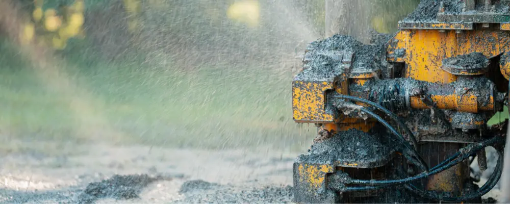
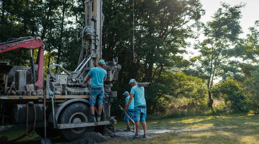
10. Test Drilling or Pilot Boreholes
Test drilling involves drilling pilot boreholes (small holes) to check the water output at a target location. It is one of the most dependable ways to make sure that there is water under the ground before a large-scale drilling is done, hence a confirmation of the borewell site is obtained.
Step-by-Step Guide to Check Borewell Points
1. Initial Consultation and Site Survey: First of all, consult experts to have a look at the land’s features, such as topography, soil type, and water sources that are visible.
2. Choose the Right Method: Based on the survey work, decide the suitable method for pointing. The most common methods for this are electrical resistivity surveys, seismic surveys, or hydrological studies.
3. Conduct the Contour Survey: Put the selected method into practice for the collection of underground data. It can be the measurement of resistance, electromagnetic conductivity, or seismic waves.
4. Analyse the Data: The data is to be interpreted for the determination of those areas where the probability of groundwater presence is the highest, and thus, the location of borewell is the most suitable one.
5. Mark the Borewell Point: Indicate the site for drilling based on the examination, making sure it’s attainable and there are no obstructions.
6. Pilot Drilling: If you want, test drilling can be performed to verify the water yield before full-scale drilling is done.
One can maximise the chances of obtaining a successful borewell basics by going through these steps.
Common Mistakes to Avoid When Checking Borewell Points
1. Lack of Proper Research
- Don’t select a borewell point just because it seems logical or you got some advice.
- For pinpointing the location, get accurate advice from a geologist.
- Employ a tool like GIS to visualise water resources underground.
2. Not Taking Into Account A Professional Assessment
- Assessing by oneself without proper knowledge often results in wrong conclusions.
- Give the job to a professionally trained person who has the correct instruments for a precise evaluation.
- Firstly, ask for recommendations and secondly, do an online check for trustworthy borewell services.
3. Ignoring the Environment
- Find out the locations of water sources nearby and the number of borewells in the vicinity.
- Learn about soil tilts (sandy soils lose water quickly while clay holds the water for a longer period).
- Study the changes in water levels according to the seasons to make sure water is always available.
4. Neglecting Borewell Depth
- Ascertain the water table levels in the locality to avoid drilling a borewell that is too deep or too shallow.
- Make a plan for the changes that seasons may bring, and also for the water needs in the future.
5. Not Doing a Post-Assessment
- Water quality should always be checked after the drilling process to ensure safety.
- Put into place a maintenance program to guarantee that the performance will continue, along with the quality, for many years to come.
Conclusion
The process of determining a borewell point is an important measure for a drilling operation to succeed. The problem of how to discover a big underground water source can be solved by a variety of cutting-edge approaches, including an electrical resistivity survey, a hydrological study, and a seismic survey. Being successful in undertaking the borewell installation can only be achieved if you do not commit the errors of solely trusting one method and completely disregarding the geology of the area where you are working.